Revolutionize infrastructure management with AI-powered, precise mapping tools.
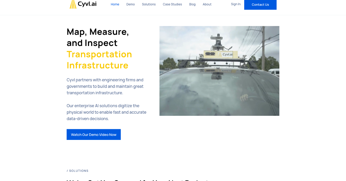
Cyvl.ai is a cutting-edge platform designed to transform the management of transportation infrastructure through AI-powered mapping. By collaborating with engineering firms and government agencies, Cyvl.ai offers tools to map, measure, and inspect the physical world with unmatched efficiency and accuracy. This technology enables users to make rapid, data-driven decisions essential for constructing and maintaining robust transportation networks. Key features include automated pavement condition assessments, 360° streetview imagery, rapid 3D LiDAR scanning, asset detection for Right-of-Way (ROW) assets, and simplified inventories for traffic signs and urban forestry. Cyvl.ai enhances decision-making with high-precision data and detailed geospatial infrastructure reports, making it a vital tool for engineers, urban planners, and government officials.
Custom pricing based on project scope and scale.
License: Proprietary