IBM's Granite-Geospatial-Ocean: AI Revolution in Ocean Monitoring
IBM's Granite-Geospatial-Ocean AI model revolutionizes ocean monitoring, offering insights into marine ecosystems and climate change impacts.
IBM's Granite-Geospatial-Ocean: AI Revolution in Ocean Monitoring
IBM Research, in collaboration with premier institutions including the Plymouth Marine Laboratory (PML), the UK Science and Technology Facilities Council (STFC) Hartree Centre, and the University of Exeter, has launched a pioneering AI model named Granite-Geospatial-Ocean designed to revolutionize ocean monitoring and marine ecosystem analysis. This new AI foundation model, announced in 2025, leverages satellite imagery and oceanic data to provide unprecedented insights into the health and dynamics of Earth's oceans, a critical step in understanding climate change and marine biodiversity.
A New Window into the Oceans
Oceans cover about two-thirds of the planet but remain vastly underexplored due to challenges such as extreme weather, deep pressure, and murky waters. The Granite-Geospatial-Ocean model overcomes many of these barriers by using advanced AI techniques to analyze raw satellite images and physical ocean measurements collected at sea. This produces detailed, color-coded maps reflecting key oceanographic indicators, such as chlorophyll-a concentration, a proxy for phytoplankton abundance and overall marine health.
Phytoplankton are vital components of the marine food web and play a crucial role in carbon cycling by absorbing atmospheric CO2. Monitoring their levels helps scientists track ocean productivity and the oceans' ability to act as a carbon sink, which is essential for climate regulation. Granite-Geospatial-Ocean has demonstrated superior accuracy over traditional methods in predicting chlorophyll-a levels, highlighting its potential to enhance oceanographic research and environmental monitoring.
Technological Foundations and Open-Source Collaboration
The model builds upon IBM’s earlier AI architecture developed for Prithvi, an AI model focused on terrestrial geospatial data. Granite-Geospatial-Ocean adapts this architecture specifically for ocean data, making it the first foundation model tailored for marine environments.
IBM has open-sourced the Granite-Geospatial-Ocean model, encouraging researchers and environmentalists worldwide to apply, fine-tune, and extend its capabilities. To facilitate easy adoption, IBM also released TerraTorch, an open-source AI framework that simplifies the fine-tuning of geospatial models such as Granite-Geospatial-Ocean.
Potential Applications Beyond Marine Health
While the immediate focus is on mapping marine ecosystems and phytoplankton, the Granite-Geospatial-Ocean model is versatile and can be adapted for several other critical applications:
- Monitoring harmful algae blooms (HABs): Early detection and tracking of HABs can help mitigate ecological damage and protect fisheries.
- Assessing water quality and sediment runoff: Providing insights into pollution levels and sediment transport vital for coastal management.
- Supporting climate change research: By tracking oceanic carbon uptake and ecosystem shifts, the model supports broader climate models and sustainability efforts.
Complementing Other AI Oceanographic Tools
Granite-Geospatial-Ocean joins a growing suite of AI-powered oceanographic research tools transforming marine science in 2025. For example:
| Tool Name | Key Features | Application Focus |
|---|---|---|
| DeepSea AI (OceanMind) | Real-time illegal fishing monitoring, species detection, predictive analytics | Regulatory enforcement, ecosystem protection |
| BlueBrain Ocean Simulator | 4D ocean simulations for currents, temperature, biodiversity | Long-term climate and policy research |
While DeepSea AI and BlueBrain focus on real-time monitoring and simulation, IBM’s Granite model excels at detailed ecosystem mapping from satellite data, adding a unique and complementary capability to the oceanographic AI toolkit.
Impact and Future Directions
The launch of Granite-Geospatial-Ocean represents a significant advancement in the use of AI for environmental science, offering a scalable, accurate, and accessible tool for ocean monitoring. This has far-reaching implications:
- Enhanced scientific understanding: Researchers gain a powerful new lens to study marine ecosystems and their responses to environmental stressors.
- Informed policy and conservation: Real-time, accurate data supports better decision-making for marine conservation, fisheries management, and climate policies.
- Global collaboration: Open-sourcing the model promotes international cooperation in addressing ocean health challenges.
IBM’s initiative aligns with broader efforts including NASA’s collaboration with IBM to apply AI to Earth science data, reflecting a growing trend of leveraging AI for planetary-scale environmental challenges.
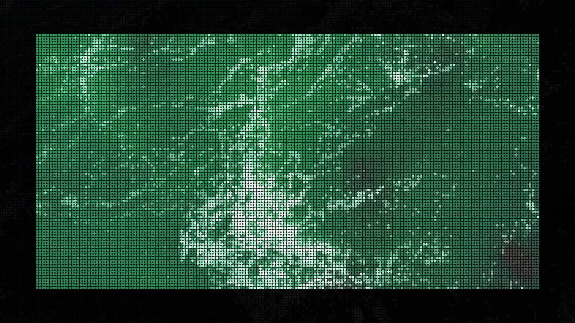
Visualizing the Future
IBM Research is pioneering AI models to unlock Earth's environmental data. Granite-Geospatial-Ocean produces detailed maps of chlorophyll-a levels, revealing phytoplankton distribution critical for ocean health. Granite-Geospatial-Ocean produces detailed maps of chlorophyll-a levels, revealing phytoplankton distribution critical for ocean health.
IBM’s Granite-Geospatial-Ocean model is a breakthrough tool poised to transform ocean monitoring by offering detailed, scalable, and accurate AI-driven insights essential for understanding and protecting our planet’s largest ecosystem. As climate change and human activities increasingly threaten marine environments, such innovations are critical to sustaining ocean health and global environmental stability.


